What is a DPA?
DPA stands for Designated Port Area, which is a "land and water [area] with certain physical and operational features that have been identified to have state, regional, and national significance with respect to the promotion of water-dependent industrial uses and commercial activities that rely on marine transportation or the withdrawal or discharge of large volumes of water" (Mass.gov).
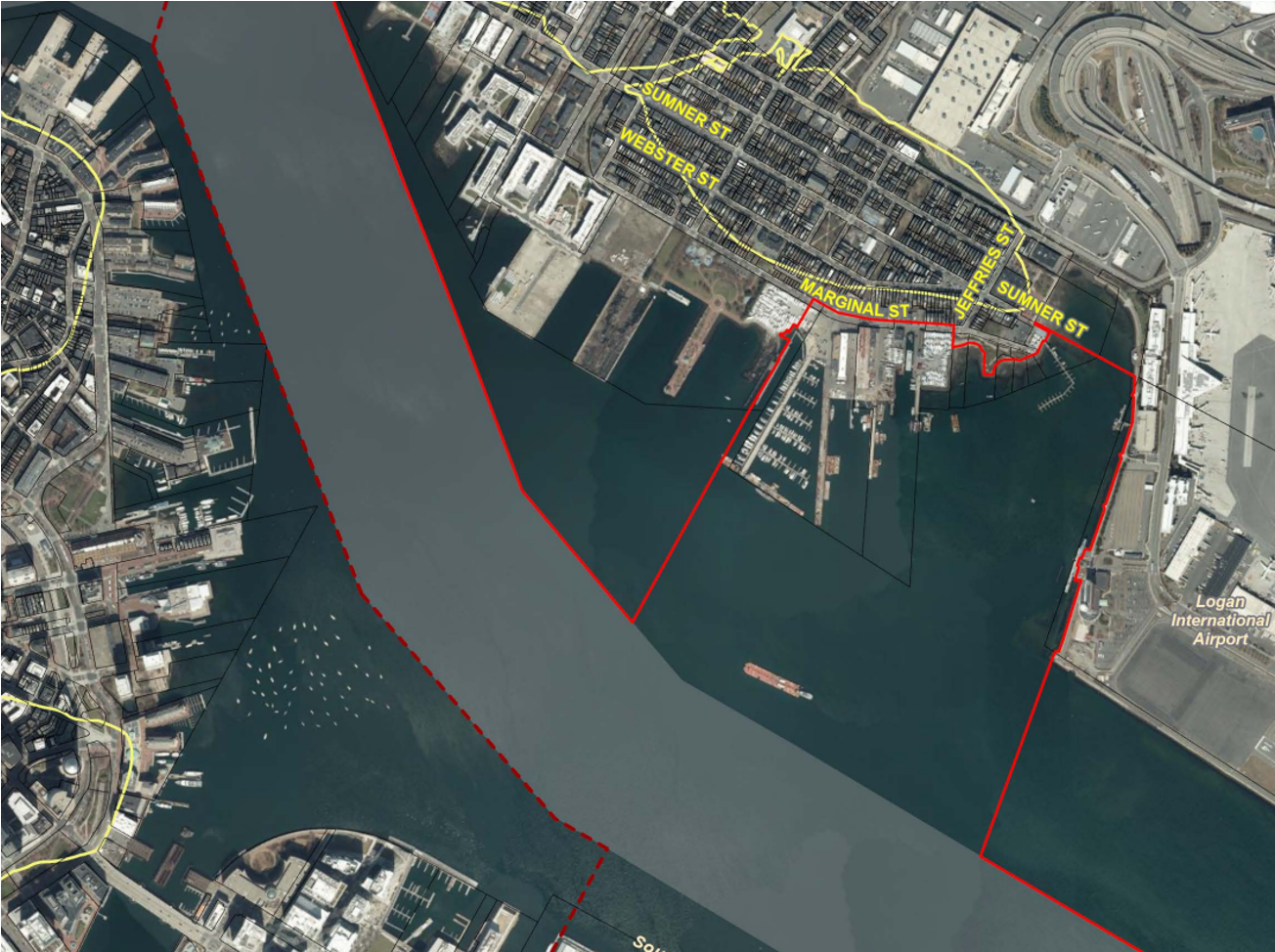
East Boston DPA
East Boston is one of ten DPAs in the state of Massachusetts. The Boston-area DPAs are Mystic River, Chelsea Creek, East Boston, South Boston, and Weymouth Fore River. The East Boston DPA was established in 1978.
The East Boston DPA begins at the Andrew P. McArdle Bridge and ends along the northeasterly line of the federal navigation channel, intersecting the beginning point of the South Boston DPA.
Water Dependent Uses
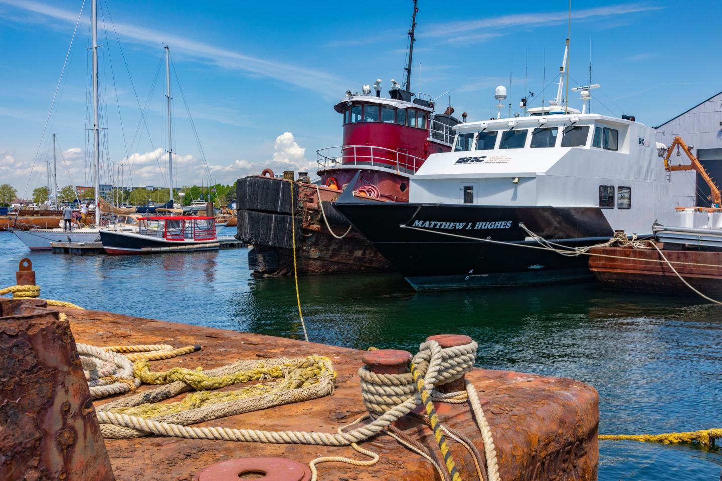
The purpose of the DPA program is to protect water-dependent industrial uses. These could include commercial fishing, shipping, manufacturing that requires marine transportation, or other vessel-related marine commercial activities.
"Water-dependent industries make up a major share of the maritime economy in Massachusetts, an important and expanding sector of the state’s overall economy" (Mass.gov).